Updated maps released by Los Angeles officials on Monday, January 13, 2025, provide a stark visualization of the destruction wrought by the recent wildfires, particularly the Eaton and Pacific Palisades fires. These maps detail the damage on a structure-by-structure basis, using a color-coded system to indicate the severity: red signifies structures at least 50% destroyed, orange, yellow, and green represent lesser damage, and black indicates no damage.
The Eaton fire has impacted 885 structures, with a devastating 674 suffering major damage (over 50% destroyed). In contrast, 157 structures in the Eaton fire's path remained unscathed. The Pacific Palisades fire has affected 664 structures, with 485 experiencing major destruction and 127 escaping damage.
City officials emphasize that these damage assessments are ongoing and subject to change as information is verified. The icons on the map reflect the current understanding of the situation.
The overall impact of the wildfires is immense, with over 12,000 homes and businesses burned. Last week, Cal Fire categorized the Palisades and Eaton fires among California's five most destructive wildfires in history. The death toll stands at 24, with recovery efforts continuing.
Both fires ignited on Tuesday of the previous week. The Eaton fire, concentrated around Pasadena, has tragically resulted in 16 fatalities according to the Los Angeles County Medical Examiner. The Palisades fire has claimed eight lives. As of Monday morning, both fires remain largely uncontained, covering a combined area of nearly 40,000 acres.
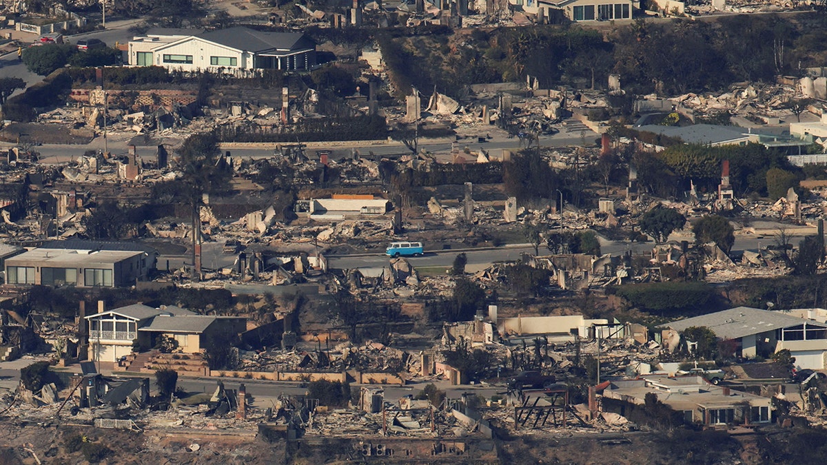
The image above provides an aerial perspective of the devastation, showing debris from burned properties in the Pacific Palisades neighborhood of Los Angeles following the Palisades Fire on January 10, 2025. (REUTERS/Daniel Cole)
It's important to note that the term "structures" used in the official reports encompasses a range of things, including homes, businesses, sheds, and even some vehicles.
Comments(0)
Top Comments